gis.codes
- All
- Python
- Machine Learning
- JavaScript
- HTML
- CSS
About
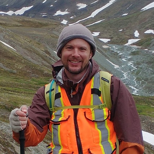
Shawn Steckenfinger (Geospatial Developer)
- Websites: gis.codes, geospatial.codes
- City: Fully Remote Only (Global Availability)
- Degrees: Master's (exp. 2026), B.S., & B.A.
- Email: sstecken@ucla.edu
Passionate and driven UCLA graduate student equipped with expertise in Geographic Information Systems (GIS), analytical writing, and geoscience research, complemented by practical fieldwork experience and proficiency in relevant software tools. Dedicated to advancing a career in geospatial data sciences and actively seeking opportunities to contribute to meaningful projects.
Resume
University Education
Master of Applied Geospatial Information Systems and Technologies
2024 - 2026 (exp.)
University of California, Los Angeles, Los Angeles, California
- Full-stack developer of https://gis.codes and https://geospatial.codes
Alaska Geology Field Camp
2021
University of Alaska Fairbanks, Fairbanks, Alaska
- Awarded spot as one of three students from outside University of Alaska.
Bachelor of Science, Professional Geology & Earth Science
2017 - 2021
Eastern Michigan University, Ypsilanti, Michigan
- Summa cum laude (with the highest distinction) honors
- Geology Field Experience Scholarship, GeoClub (AIPG Student Chapter)
- 2x Symposium Undergraduate Research Fellowship Grants
- LoDuca, S. T., Swinehart, A. L., LeRoy, M. A., Tetreault, D. K., & Steckenfinger, S. (2020). Codium-like taxa from the Silurian of North America: Morphology, taxonomy, Paleoecology, and phylogenetic affinity. Journal of Paleontology, 95(2), 207–235. https://doi.org/10.1017/jpa.2020.85
Developer Experience
MAGIST Graduate Student
2024 - 2026 (exp.)
University of California, Los Angeles, Dept. of Geography, Los Angeles, California.
- Specialized in scripting, automation, and programming within the field of geospatial sciences, specializing in Python for data processing, fusion, and application development. Demonstrated capability in independently undertaking full-stack development and deployment of comprehensive end-to-end GIS applications.
Alaska Geology Field Student
2021
University of Alaska Fairbanks, Dept. of Geosciences, Fairbanks, Alaska.
- Competitively chosen for a prestigious field program in the remote Alaskan highlands mapping lithologies and geologic structures. Utilized ArcGIS Online for collaboration and ArcGIS Pro for the creation of geologic maps. Synthesized detailed field reports.
Symposium Undergraduate Research Fellow
2018 - 2020
Eastern Michigan University, Dept. of Geography and Geology, Ypsilanti, Michigan
- Engineered a Python based multispectral 3-D scanner and produced computational models with Python in Blender for peer-review publication. Symposium lecturer and co-author in the Journal of Paleontology.
Skills
Subjectively rated and relative to one another.
